Exploring Area Formulas and Calculations for Programming Maps
Category : | Sub Category : Posted on 2024-10-05 22:25:23
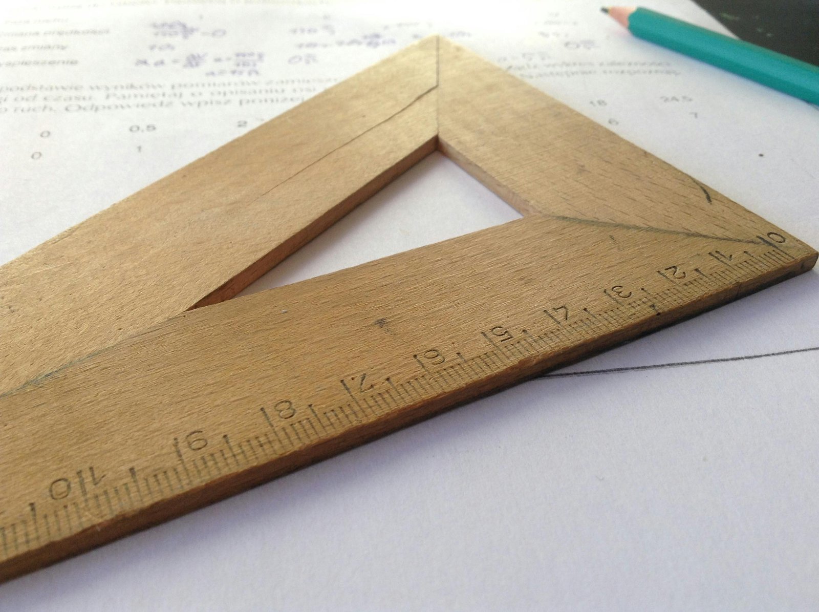
Are you a programming enthusiast looking to delve into the world of maps and spatial data? Understanding area formulas and calculations is essential for accurately representing map features and analyzing geospatial data. In this blog post, we will explore the fundamental area formulas and calculations commonly used in programming maps. 1. Calculating the Area of a Rectangle: The formula to calculate the area of a rectangle is simple and straightforward. For a rectangle with sides of length 'l' and 'w', the area (A) is given by: A = l * w In map programming, rectangles are commonly used to represent bounding boxes or map extents. Calculating the area of a rectangle helps in determining the spatial coverage of a map feature or region. 2. Computing the Area of a Circle: For map programming involving circular features like buffered points or circular regions, the area of a circle can be calculated using the formula: A = π * r^2 Here, 'r' represents the radius of the circle, and π is a constant approximately equal to 3.14159. Understanding this formula is crucial for accurately representing and analyzing circular map features. 3. Determining the Area of a Polygon: In map programming, polygons are widely used to represent complex shapes such as countries, states, or geometric regions. Calculating the area of a polygon involves more intricate formulas, such as the shoelace formula or the formula based on the coordinates of the polygon's vertices. By breaking down a polygon into triangles and summing their areas, the overall area of the polygon can be computed. This process is essential for spatial analysis, such as determining land areas or calculating overlap regions between polygons. 4. Geographic Coordinates and Area Calculations: When working with geospatial data on maps, it is crucial to consider the Earth's curved surface and the distortion introduced by flat projections. Using geographic coordinates like latitude and longitude requires special attention when calculating areas to account for the Earth's curvature. By utilizing geodesic formulas or spatial libraries that support geographic calculations, programmers can accurately determine areas on maps regardless of the chosen projection or coordinate system. In conclusion, mastering area formulas and calculations is fundamental for programming maps and analyzing spatial data effectively. Whether you're working on creating interactive maps, conducting spatial analysis, or developing geographic applications, understanding these formulas will enhance your mapping skills and empower you to work with diverse map features and data sets. Happy mapping! Curious to learn more? Click on https://www.droope.org also this link is for more information https://www.grauhirn.org
Leave a Comment:
SEARCH
Recent News
- Zurich, Switzerland is known for its cutting-edge technology and research in various fields, including the study of the subconscious mind and robot learning. In recent years, research has delved into the intersection of these two areas, exploring how the principles of the subconscious mind can be applied to enhance robot learning and intelligence.
- In the cutting-edge city of Zurich, Switzerland, the development of robotics is taking a fascinating turn as researchers delve into the realm of subconscious influence on robot emotions. It may sound like something out of a sci-fi movie, but studies have shown that the way humans interact with robots can deeply impact their emotional responses.
- Zurich, Switzerland is renowned for its beautiful scenery, rich history, and financial prowess. With a strong economy and a high standard of living, Zurich is a popular destination for both tourists and businesses alike. For companies looking to invest in Zurich, one key tool that can help in decision-making is the ROI (Return on Investment) calculator.
- When planning for retirement, one of the key factors to consider is how much income you will need to maintain your desired lifestyle. Retirement income calculators can be valuable tools in helping you estimate your expenses and determine how much savings you will need to retire comfortably.
- Zurich, Switzerland: A City of Beauty, Culture, and Memes in Digital Communications.
- Zurich, Switzerland is not only known for its stunning views, vibrant culture, and high standard of living, but also for its strong emphasis on mathematics education. With a rich history in the field of mathematics and a commitment to excellence in STEM (Science, Technology, Engineering, and Mathematics) education, Zurich has established itself as a hub for mathematical research and innovation.
- Zurich, Switzerland is known for its strong economy, stable political environment, and favorable tax system, making it an attractive location for investments. As an investor in Zurich, it is essential to understand how investment taxes are calculated to maximize your returns and comply with local regulations.
- The intersection of YouTube content creation, translation, the subconscious mind, and robot learning may seem like an unlikely combination at first glance. However, upon closer examination, we can uncover interesting connections and potential opportunities for content creators and learners alike.
READ MORE
8 months ago Category :

Zurich, Switzerland is known for its cutting-edge technology and research in various fields, including the study of the subconscious mind and robot learning. In recent years, research has delved into the intersection of these two areas, exploring how the principles of the subconscious mind can be applied to enhance robot learning and intelligence.
Read More →8 months ago Category :

In the cutting-edge city of Zurich, Switzerland, the development of robotics is taking a fascinating turn as researchers delve into the realm of subconscious influence on robot emotions. It may sound like something out of a sci-fi movie, but studies have shown that the way humans interact with robots can deeply impact their emotional responses.
Read More →8 months ago Category :

Zurich, Switzerland is renowned for its beautiful scenery, rich history, and financial prowess. With a strong economy and a high standard of living, Zurich is a popular destination for both tourists and businesses alike. For companies looking to invest in Zurich, one key tool that can help in decision-making is the ROI (Return on Investment) calculator.
Read More →8 months ago Category :
